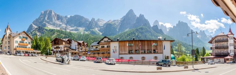
 San Martino di Castrozza
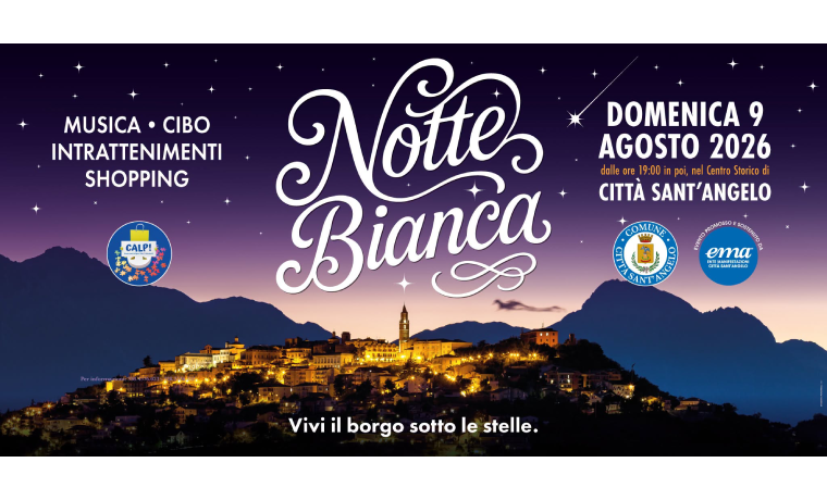 White Night in Città Sant'Angelo
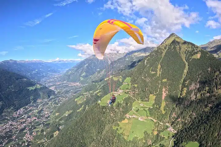 Tandem paragliding flights in Tirolo and Merano: the thrill of flying over the Alps
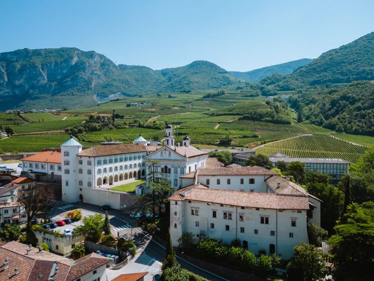 Cultural sites in the Piana Rotaliana Königsberg: a journey through the history, art and traditions of Trentino
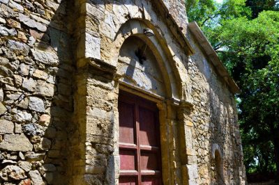
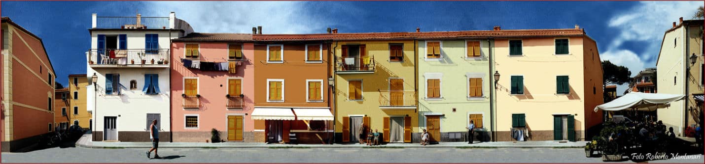
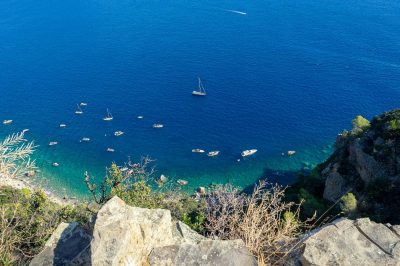
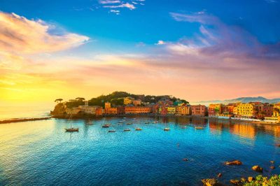
situated south-east from the main town of the municipality of Sestri Levante, the fraction is formed by two distinct parts: Trigoso, the oldest, inside and in the hill, and Riva, sea, anciently named the Ripa. Riva overlooks a wide gulf delimited by two promontories: Punta Manara on the west side, behind which lies the town of Sestri Levante, and Punta Baffe on the east side, behind which is located Moneglia.
The two toponyms, Riva and Trigoso, were combined for the first time in 1874, in the name of the train station “Riva-Trigoso”, then located half way between the two villages. The joint designation is entry to little by little in common use to identify improperly single fraction of Riva.
In the center of the Gulf opens the torrent Petronio, often in dry even total, which divides the shore in two parts, the area of the West and the East Coast. The area to the West has the appearance of a typical and ancient ligurian village of fishermen, but in recent years with the increase of tourism, was renewed with the opening of certain infrastructures receptive tourist-and with beach completely free.
The area of Levante, instead, consists of houses mostly dating back to the Twentieth Century about and hosts the main retailers and bathing establishments. Both zones rivane enjoy their walks at sea which flank a huge natural beach (approximately 1,2 km Total line of shoreline).