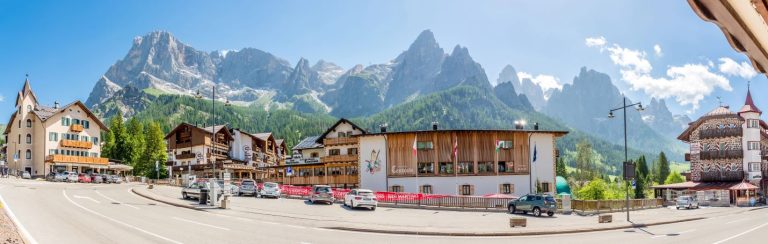
 San Martino di Castrozza
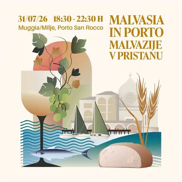 Malvasia in Porto 2026
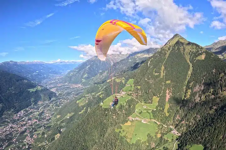 Tandem paragliding flights in Tirolo and Merano: the thrill of flying over the Alps
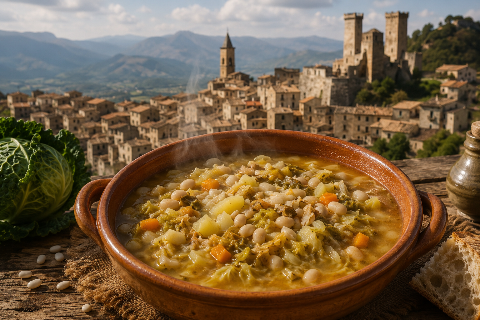 Recipe: Polta di Pacentro, the peasant dish that symbolises the traditions of Abruzzo
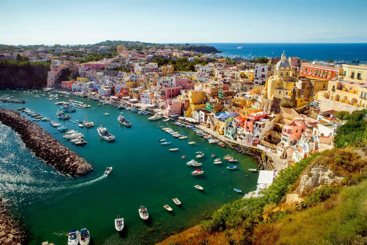
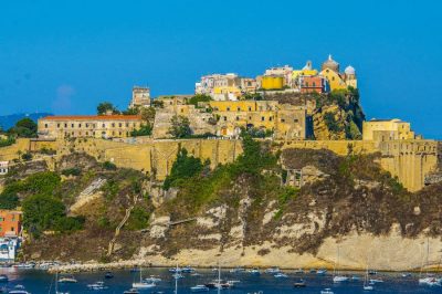
Since ancient times, this area has also been known as “Callìa”, a term of Greek origin meaning “beautiful district”. A name that perfectly describes this part of the island, overlooking one of Procida’s most enchanting coastlines. From the panoramic bend overlooking the sea, a striking view opens up onto Marina di Corricella, the picturesque fishing village. Here, the houses, perched along the steep coastline, form a unique blend of colours and Mediterranean architecture: facades painted in yellow, pink, blue, green and white, which once helped sailors recognise their homes from the sea. The name “Corricella” is also said to derive from the Greek “coros callos”, meaning “beautiful district”, the same etymological root as Callìa, which refers to the upper part of the village.
Corricella can only be reached via characteristic stairways. The best known is the Gradinata del Pennino, situated opposite the 16th-century church of San Rocco, at the lowest point of the street of the same name. The stairway winds through narrow alleys and passageways between the colourful houses until it reaches the small harbour. This corner of Procida, thanks to its authentic atmosphere, has often been chosen as a film set. Among the houses in the village are also some of the island’s most exclusive hotels and restaurants.
Heading back up towards Via San Rocco and continuing through the Callìa district, you come to the street named after Marcello Scotti, a priest and intellectual from Procida who fell victim to the Bourbon repression of 1799. Here stand elegant 17th-century palaces with splendid gardens overlooking the Chiaia inlet. Among these buildings is the church of St Thomas Aquinas, built in the 18th century and entrusted to the Confraternity of the Immaculate Conception of the Turchini, so named for their characteristic blue silk cap. Inside is a precious wooden sculpture of the Deposition of Christ, created in 1728 by the Neapolitan sculptor Carmine Lantriceni. The work, particularly venerated by the islanders, is carried in procession on Good Friday during the traditional Parade of the Mysteries, arousing great emotion and participation every year.
At the end of the street stands Palazzo Emanuele, also known as Palazzo Scotti and nicknamed “Mamozio” after the mask that adorns its main entrance. From here, the road splits: taking Via Vittorio Emanuele II leads to Piazza della Repubblica, passing the primary school building and the war memorial to those who fell in the First World War, unveiled in 1925. If you continue straight on, you arrive at a small square dominated by the church of San Giacomo, built in 1656 and currently undergoing restoration. A little further on is the church of San Vincenzo, home to the Archconfraternity of the Bianchi. From here, Via dei Bagni leads to Chiaia beach and the famous Giardini di Elsa, nestled amongst citrus and fruit groves, the place where Elsa Morante wrote “L’isola di Arturo” and now home to the literary park dedicated to the writer.
Via Vittorio Emanuele II continues past ancient residences and historic palaces, including Palazzo Manzo, dating from 1685, the oldest building on the island with a confirmed date of construction. The street leads to the church of Sant’Antonio Abate, built in the early 17th century, near the ‘Corte’ district, so named for the courtyards that characterise this part of the village. Here you will also find the de Jorio tower, built in the 17th century and used for a time as a prison.
Crossing Via SS. Annunziata, you reach the church of the same name, rebuilt in the 17th century on the ruins of an ancient Benedictine convent. The road continues through the fertile area of La Starza, which historically belonged to the Abbey and is characterised by cultivated fields and vineyards. From Via Faro, you finally reach the tip of Pioppeto, where the Procida Lighthouse stands, in operation since 1849 and overlooking a splendid view of the channel.
Continuing along Via Regina Elena and Via Cesare Battisti, you come to the district of Cottimo, famous for its vineyards and the 16th-century Rotonda tower, the best-preserved of the three defensive towers built on the island to protect the inhabitants from pirate raids. Over time, the three towers have become the very symbol of Procida and still feature in the town’s coat of arms today.
From the Rotonda tower, a road winding through vineyards and orchards leads up to the Cottimo hill. From here, one of the island’s most striking views unfolds: the Pozzo Vecchio inlet, enclosed by Punta della Serra, and the long Ciraccio beach stretching all the way to the hill of Santa Margherita Vecchia. Heading back down towards the sea, you easily reach Pozzo Vecchio beach, dominated by the island’s small cemetery.