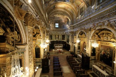
 San Martino di Castrozza
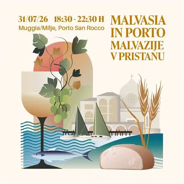 Malvasia in Porto 2026
 Tandem paragliding flights in Tirolo and Merano: the thrill of flying over the Alps
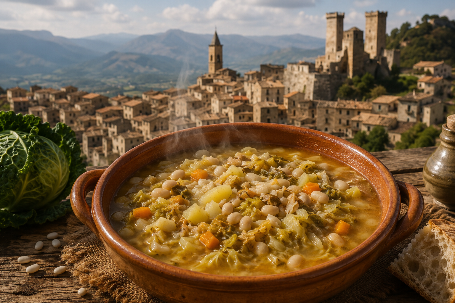 Recipe: Polta di Pacentro, the peasant dish that symbolises the traditions of Abruzzo
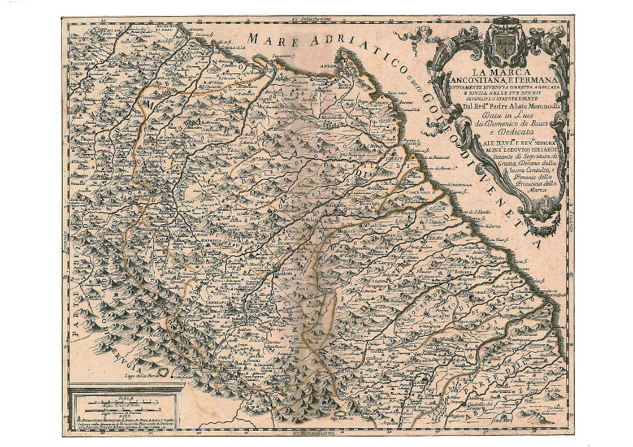
The Marche Historical Map Library is located in the village of Serra San Quirico, inside the cloister of the Santa Lucia complex. The museum houses a large collection of ancient maps and charts having the Marche as their subject. These are documents of great artistic refinement, engraved and printed from the 16th century onward, which make it possible to read historically the territory in its administrative and geographical evolution: from the ancient Duchy of Urbino to the first maps of the Papal State and the new unified state. A reproduction of a globe by Venetian cartographer Vincenzo Coronelli (1650 – 1718) can also be seen.