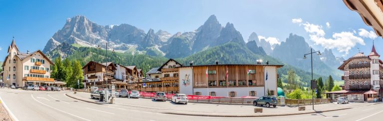
 San Martino di Castrozza
 Barga in Cioccolato 2026
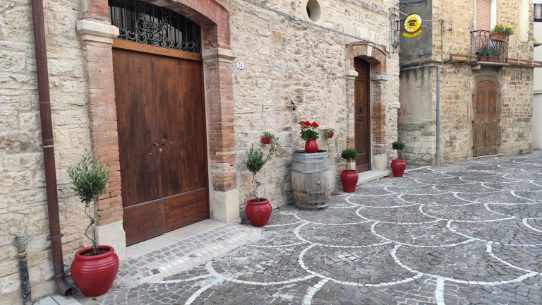 Cianfagna Winery Residence
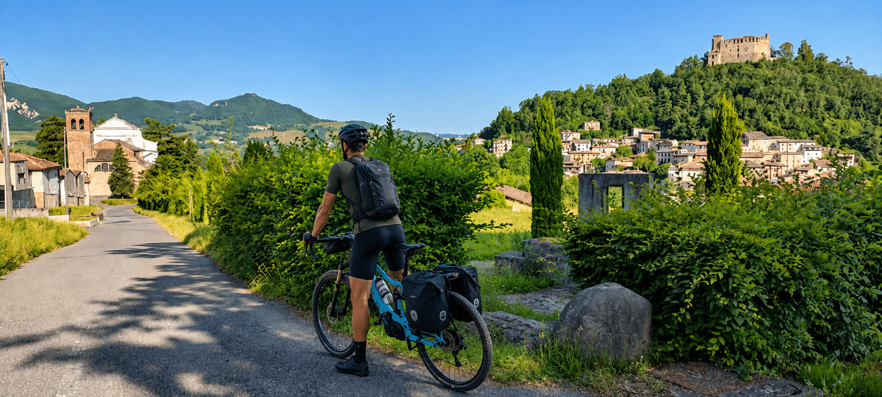 Historic trails and slow itineraries between Pavia and Oltrepò Pavese: the charm of slow tourism amidst nature, villages and spirituality
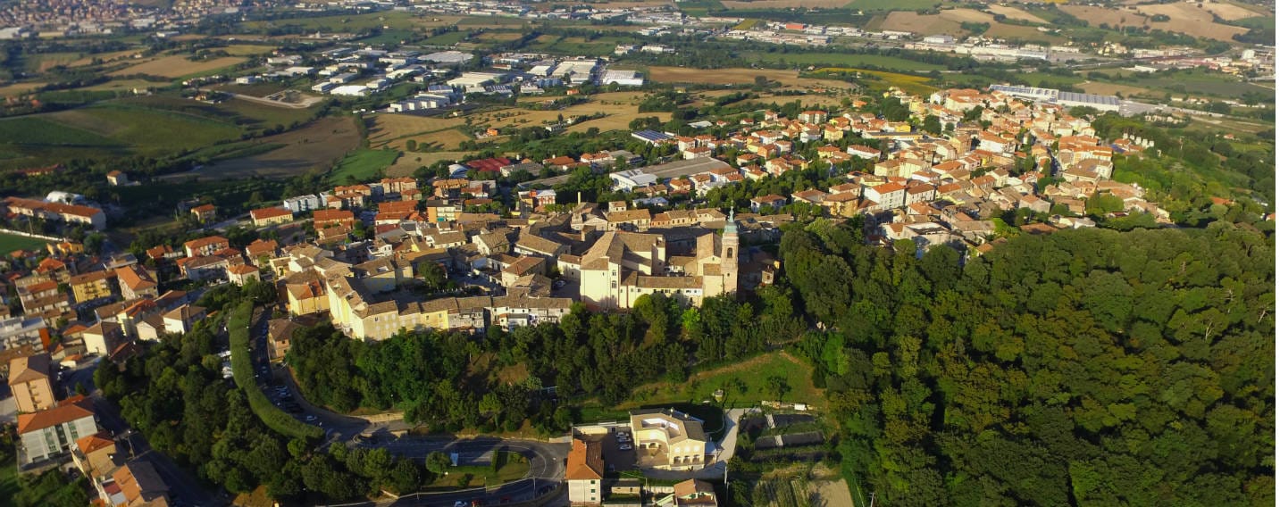
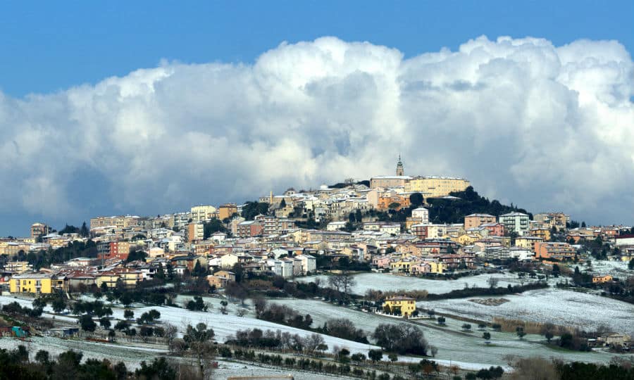
Inside the Conero Regional Park is the village of Camerano. Called “the underground city”, the village is known for the caves of the same name. The village, nestled among the harmonious hills of the park, surrounded by vineyards, is located in the territory of the well-known Rosso Conero. Every year, the first week of September, wine becomes the protagonist of the Rosso Conero festival: refreshment points, stalls, street games, tasting moments until late at night to celebrate all together.
Photo gallery
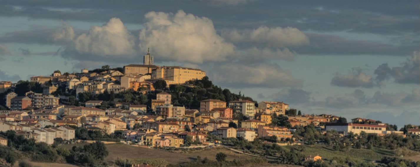
Harmoniously nestled among the rolling hills of the Conero Riviera, Camerano is a Marche village suspended between millennial history, lush nature and intense flavors. Its landscape is a succession of cultivated knolls that slope toward the Aspio River or climb in the direction of Mount Conero, offering vibrant vistas of vines and light.
Camerano’s roots go back in time: inhabited since Neolithic times, it was then the land of the Piceni, the Greeks and finally the Romans, who left archaeological evidence of it still visible today. But its true soul is hidden-literally.
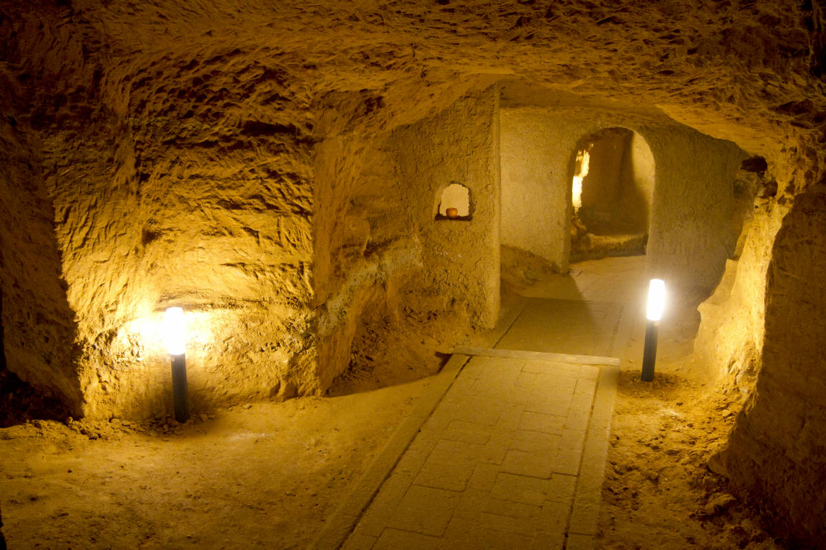
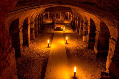
The city beneath the city
Beneath the streets and squares of the historic center lies a unique underground world: the Underground City of Camerano. An intricate labyrinth of rooms carved out of sandstone, adorned with domed vaults, circular halls, columns and bas-reliefs with symbolic, religious and sometimes still shrouded in mystery meanings. More than just caves, they are an enigmatic architectural work, telling a parallel and fascinating story. As the inhabitants say, “There is more of Camerano below than above”!
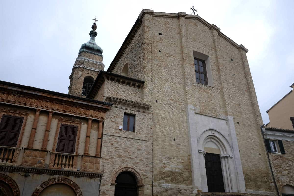
Between art, faith and curiosity
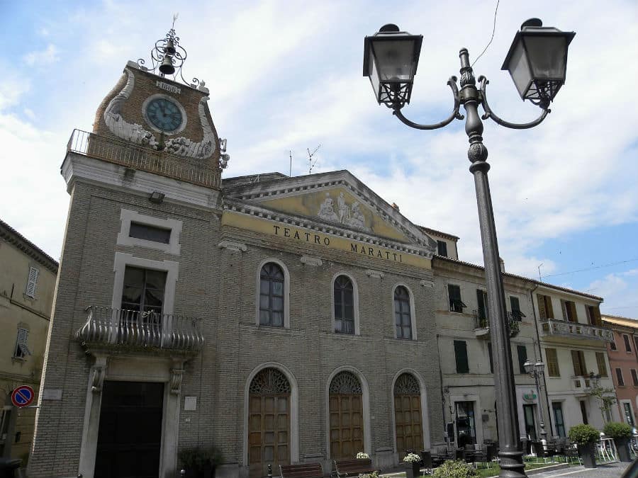
Camerano is also home to the painter Carlo Maratti, a 17th-century artist born here and celebrated with a collection of works on display in the Town Hall and a theater dedicated to him. He is also credited with the transfer of the relics of St. Faustina to the Church of St. Nicholas of Bari.
Another spiritual symbol is the Church of St. Francis, linked to the saint’s passage during his journey to the East. It was here, under the floor, that a mysterious burial of a child was discovered, which was also documented in an episode of the TV program “Mystery.”
The kingdom of Rosso Conero
Camerano is surrounded by vineyards that give one of the most celebrated wines of the Marche: the full-bodied, structured Rosso Conero, born of the Montepulciano grape variety. A trip among the wineries is a journey into the flavors of the land, and it culminates each year in September with the lively Rosso Conero Festival, including tastings, music and conviviality until late at night.
Nature and adventure in the Conero Park
The village is part of the Conero Natural Park, more than 6,000 hectares between coast and hills where you can enjoy outdoor experiences: trekking, biking or horseback riding among Mediterranean landscapes and woods populated by the fragrant strawberry tree. Paths connect Camerano to other pearls of the Riviera such as Sirolo, Numana and Ancona, making it an ideal stop for those who love hiking and authentic nature.
Camerano is the perfect village for those seeking excitement and suggestion: above, a panorama of vineyards and culture; below, a secret world that has fascinated for centuries. An interweaving of art, mystery and flavors that captivates anyone who decides to discover it.
Village of Camerano
Municipality of Camerano
Province of Ancona
Marche Region
Population: 7.251 cameranesi
Altitude centre: 231 m s.l.m.
the Municipality is part of:
Città del vino
Protected natural areas:
Conero Regional Park
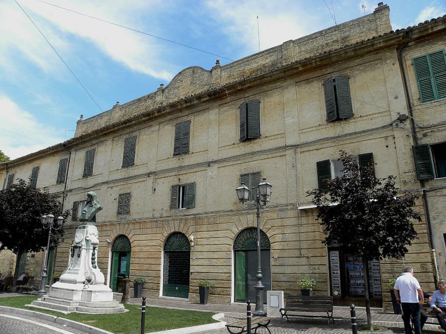
Municipality
Via San Francesco 24 – Tel. +39 071 730301
BY CAR
- From the North: Take the A14 motorway towards Ancona, exit at Ancona Sud / Osimo, continue on the SS 16 and follow signs for Camerano.
- From the South: Take the A14 motorway towards Naples, exit at Ancona Sud / Osimo, continue on the SS 16 and continue towards Camerano.
ON THE TRAIN
- Ancona railway station
BY PLANE
- Ancona airport
BY SEA
- Port of Ancona
What to see in Camerano
Discover what to see in Camerano among monuments, scenic views, museums, churches and symbolic places of the village. A useful selection to plan your visit and explore the area.
News and stories about “Camerano”
Insights and stories from the area, to keep discovering.
Continue the journey
Camerano is only one of the treasures of the area. Use the interactive map to discover what to visit nearby, how far the other villages are and which experiences you can enjoy along the route.
Explore the area